1 of 11
I started with the default Mapbox satellite map and set the 3D terrain exaggeration to 1.3 for a more dramatic visual effect.
Scroll down for more
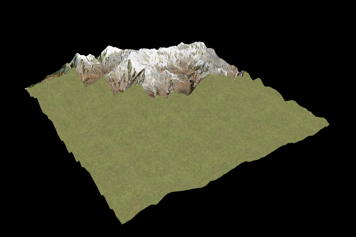
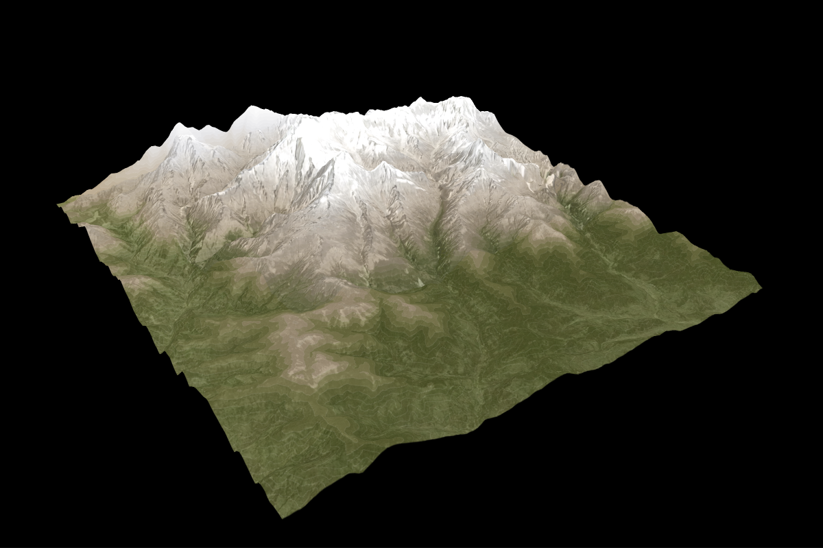
2 of 11
I downloaded a high-resolution satellite image from the Copernicus browser and applied a grass texture to green areas to enhance natural terrain details.
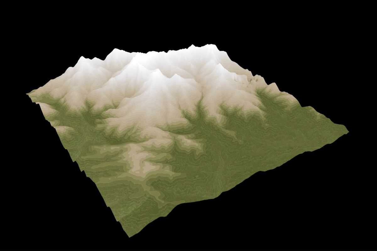
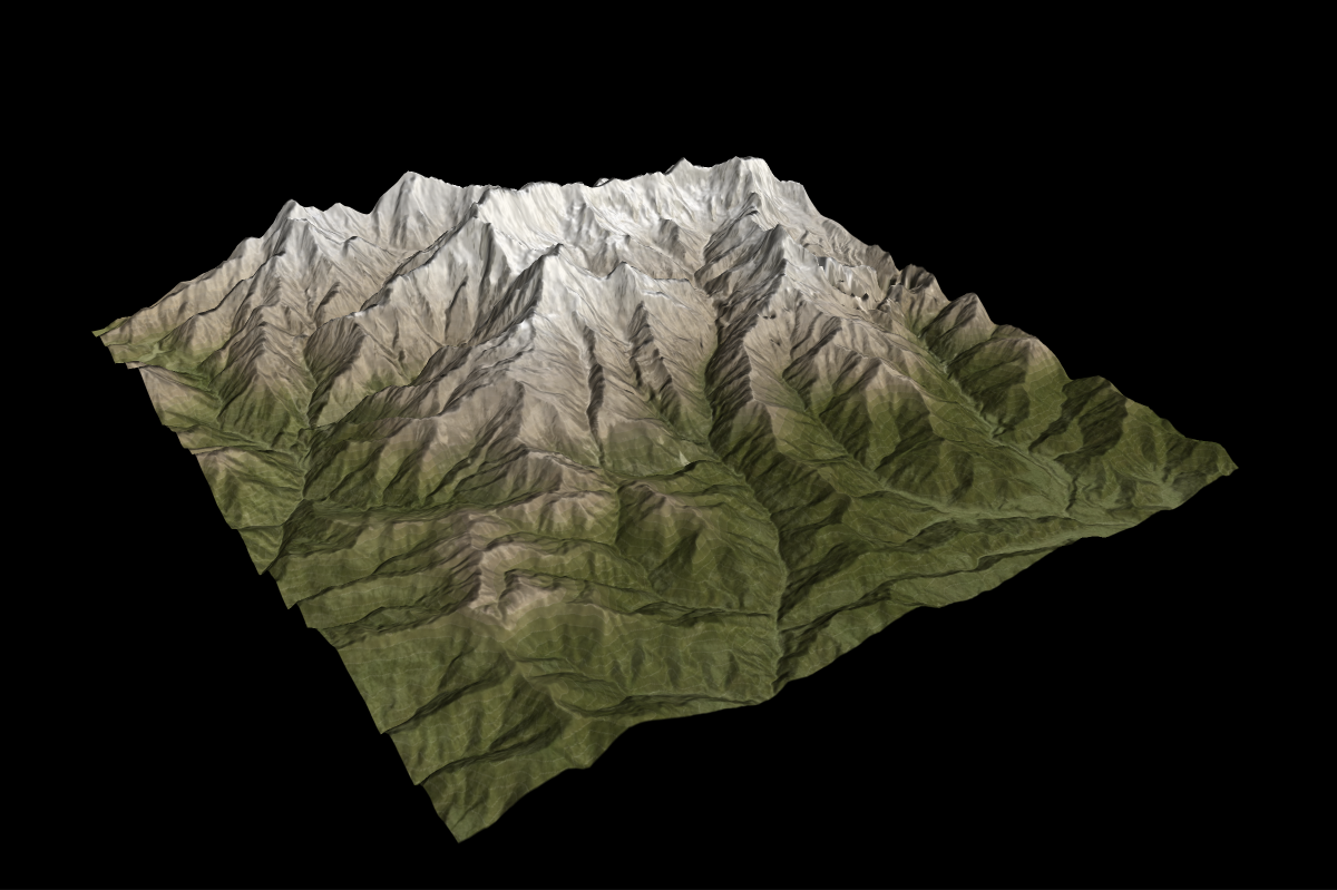
3 of 11
I added a Mapbox Terrain contour layer with a gradient fill: green for elevations [0–2500m], brown for [2501–3500m], and white for [3501–8000m+].
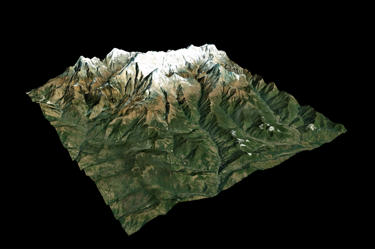
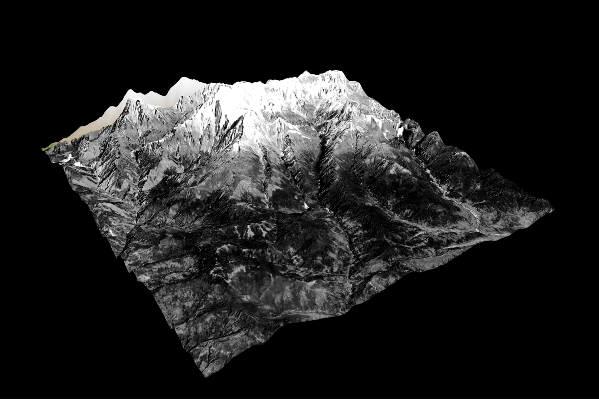
4 of 11
I downloaded several detailed satellite images from Copernicus and stitched them together using GDAL to create a seamless high-resolution base.

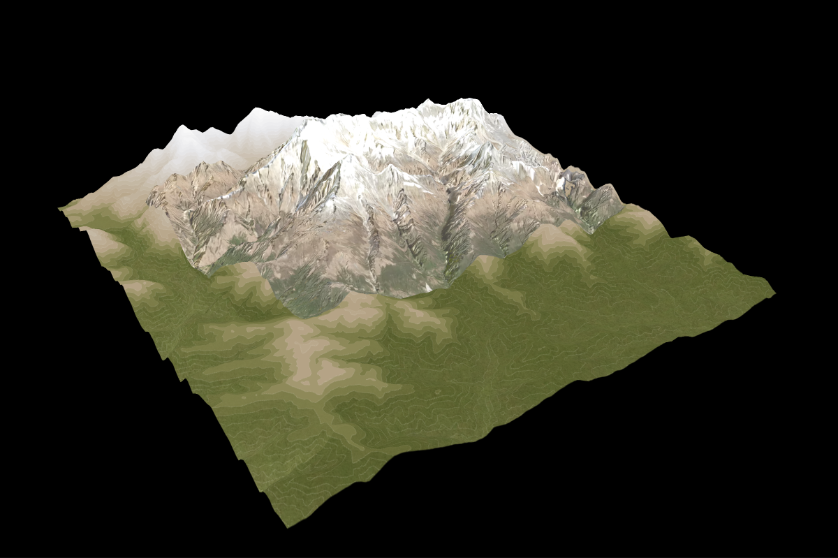
5 of 11
I applied the stitched satellite layer at 35% opacity to add subtle texture to the high mountain areas.
6 of 11
To enhance less mountainous areas, I exported a broader, lower-resolution satellite image, converted it to grayscale, and increased its contrast.
7 of 11
This grayscale layer was then added at 20% opacity for subtle texture without overpowering other elements.
8 of 11
I included the Mapbox Terrain RGB layer and styled the shadows in black. I adding a soft orange hue as accent color to mimic natural sunlight.

9 of 11
I layered in water and road features. Each uses multiple layers to enhance clarity, color variation, and visual separation.

10 of 11
I imported the GPS trail from Alltrails and experimented with various colors to ensure visibility while harmonizing with the map’s terrain.

11 of 11
Finally, I manually added place labels with custom line icons and elevation data to provide geographic context and visual consistency.
